High-Tech Employer Neighborhoods: San Diego
I began the evening by focusing on identifying neighborhoods in San Diego with clusters high-tech employers. When I choose a place to live, I like to be near the tech startup action, to minimize the commute and maximize opportunities. In the end, my focus turned more toward critique of map search tools.
First, I used an old favorite, Verizon SuperPages "Search by Distance". I have found their proximity search superior to that of MapQuest, whose advertisers directed me to drive 47 miles for a sandwich.
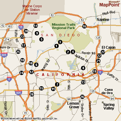
Powered by Microsoft MapPoint, their search feels a little bit "Web 1.0". It limits the user to pre-defined keywords (a phone-book taxonomy) and business name. I selected "Internet Products & Services" near "San Diego, CA", and got 533 matches. The resulting map image was not interactive or resizable, and had numbered black dots that correspond to text listings below. You must scroll up and down the page and relate the numbers to the search results in your brain; no hyperlinking, pop-up balloons, or other tools relate the image to the list.
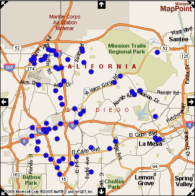
When I clicked "Interactive Map", I got a list truncated to one hundred results, and a resizable, zoomable map. Clicking on one of the blue spots opens a new window with a business listing, without warning. Mousing over a single blue bot produces the same listing in a popup div. Where two dots overlap, you get a menu instead, that allows to you to choose an item from the "stack". Mouse over a menu item, and you get the listing floated over the map. Click it, and you get the annoying new window containing one listing. Click a checkbox in the item list, and the corresponding map item becomes an "x". To save a map with blue dots and x's, I would have to do a screen shot, because the markers are floated over the image.
The Verizon SuperPages/MapPoint interfaces were of limited use for the purpose of locating employer neighborhoods. At best, I could only query for one type of business at a time, using predefined categories. "Internet Products & Services" included ISPs, which were of no interest, and there was not a method to remove them. The venerable proximity search that is so useful for locating an espresso shop or laptop repair joint near an address proved near-useless at mapping employers in neighborhood clusters.
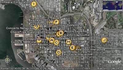
I fired up Google Earth, flew to San Diego, and performed local searches for the keywords startup, software, and Internet. I could layer the queries, toggle them, and toggle individual results. By zooming and panning, I could produce views that contained the landmarks that I wanted, and produced less overlap, for more readable labels. I could resize the image and save it as a JPEG, using the File menu. The result was much closer to what I wanted. Unfortunately, it lacked neighborhood boundaries, so answering my question would require cross-referencing with other map sources.


0 Comments:
Post a Comment
<< Home